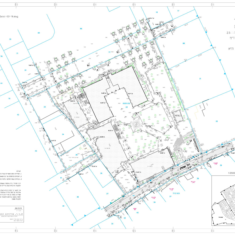
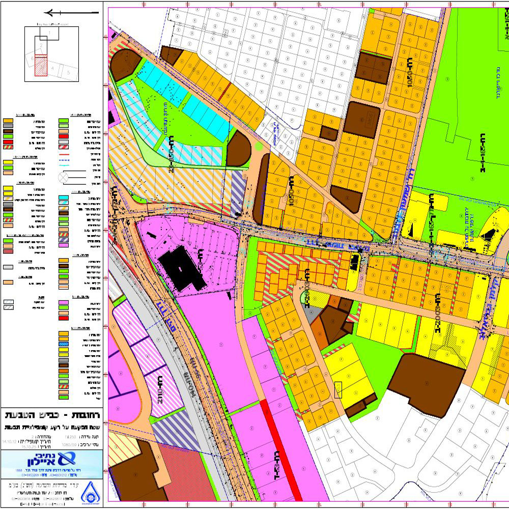
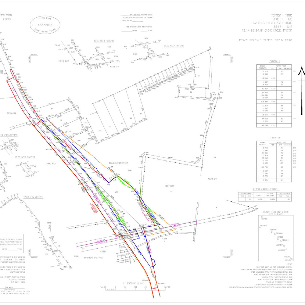
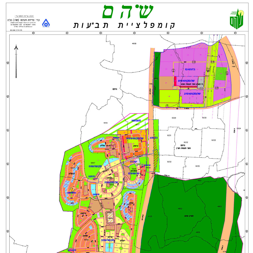
The ground survey is the technique, profession and science of determining the exact location (3D) of points, distances and angles between them and performed by licensed surveyors.These points are usually on the surface of the earth, and are often used to create land maps and ownership boundaries, locations (building corners, surface location of subterranean elements), for government or legal purposes.